This article is part of the Tri-City News' tribute to Coquitlam Search and Rescue, which celebrates 50 years in 2022.
Sugar Mountain is a pleasant three- to four-hour hike, starting and finishing in the Village of Anmore.
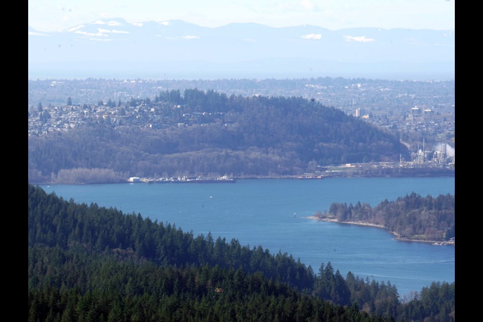
On this hike you will experience backyard views of Anmore’s mansion-land, an impressive viewpoint looking over Burrard Inlet and an interesting return route via Buntzen Lake.
The hike starts from the parking lot at Anmore Village Hall, on the opposite side of the road from the fire station.
From the map kiosk, head west on the small trail that follows the gas line right-of-way.
Heading downhill, you will cross over two roads before crossing a creek and heading uphill again.
Shortly after crossing the third road, take the trail that forks to the right and heads uphill.
This trail emerges on a gravel road, which you should follow north (roughly straight on from where you emerge).
Follow the road looking out for a trail on the right after about 100 m.
This trail initially starts as a rocky slope, so keep a careful eye out for it.
At the next T-junction, take the right option leading uphill.
At the next few trail junctions, keep on the options that go left.
The winding path will take you up the south slopes of Sugar Mountain to the 388 m summit.
Just before the summit, there is a side spur that heads steeply down to a viewpoint — a great place to take lunch.
After lunch, continue north on the airy ridge crest, descending gradually to the Diez Vistas/Sugar Mountain Saddle.
Turn right here, taking the switchbacks of the Saddle Ridge Trail all the way down to the Buntzen Lake Trail.
As you descend, take both right forking options.
You will be hiking parallel to the main Buntzen Lake Trail for a little while before joining it.
Follow the Buntzen Lake Trail (also known as Pump House Road) all the way out to the recreation area entrance, crossing over the intersection of the Floating Bridge Trail/Diez Vistas Trail along the way.
Follow Sunnyside Road back to the parking lot using the sidewalk on the east (left) side of the road for safety.
Safety note: Always bring the 10 essentials, make a trip plan and ensure everyone in your group is adequately fit.
To donate to Coquitlam Search and Rescue in its 50th year, visit www.coquitlam-sar.bc.ca.


