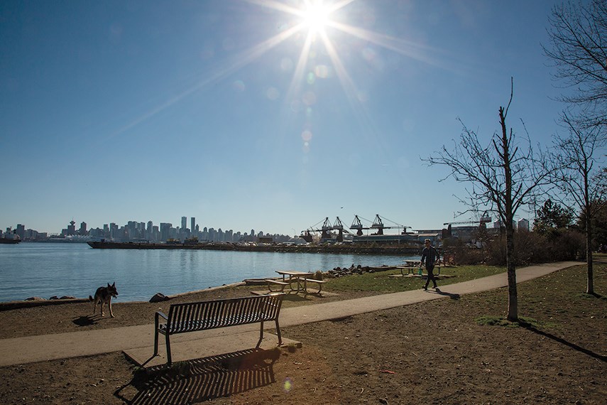
Following a record cold February, spring sprang officially forward with record high temperatures this week.
Matt MacDonald, meteorologist with Environment and Climate Change Canada, said that temperatures have been “incredibly warmer than normal” and “completely abnormal” over the past week.
The weather station in West Vancouver reached 21.6 degrees on Wednesday, the official first day of spring. Across the province, 122 records were broken since Sunday, some dating back to the late 1800’s.
Overall, it has been 10 to 11 degrees warmer than usual. Average daytime highs at this time of year usually only reach about 11 degrees.
The weather station at Vancouver International Airport broke a record this week, with the station recording a high temperature of 15.5 degrees on Tuesday which was that warmest March 19th since records began in 1896, according to MacDonald.
Squamish reached 25.9 degrees on Wednesday. According to MacDonald, it was not only a daily record for March 20, but an all-time warmest March day since 1960.
The high spike in temperatures was caused by a strong ridge of high pressure and air flowing from the Interior out towards the coast. “It felt more like early summer than early spring,” MacDonald said.
MacDonald said temperatures will return to usual spring-like weather this coming week with a chance of occasional showers and seasonal temperatures.
Highs of 12 degrees and overnight lows of 5 degrees are expected for the last week of March.
Moving into the rest of the season, MacDonald said that we can expect a warmer-than-usual spring.


