A local conservationist group warns that there are environmental consequences to proposed upgrades to the Siyích’em and Eagle Viewing dike system.
The District says the Eagle Viewing Area/Siyich’em Reserve Dike Master Plan aims to better protect Brackendale, Siyich’em Reserve, and other areas from flood.
The proposal also aims to return some land to the Squamish Nation.
In a letter to municipal council, Chessy Knight, president of the Squamish River Watershed Society, told elected officials that her organization is concerned that the upgrades will lead to the loss of 25 hectares of active floodplain and create undesired environmental effects.
The letter is also co-signed by executive director Edith Tobe.
“We understand [this choice] is to address historic wrongs done to Squamish Nation vis-à-vis land tenure,” reads the society’s letter.
“However, we cannot see how the commission of such a grave ecological wrong can correct for the earlier wrong done to Squamish Nation in this area of Brackendale.”
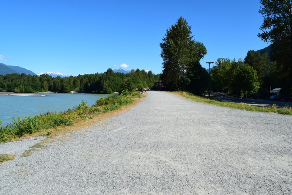
Earlier this year, council unanimously voted in favour of replacing the current Squamish River dike located along Eagle Run Drive. This new alignment would partially cut off a large, forested gravel bar island from the Squamish River.
The District hopes that this project will also help reclaim land for the Siyích’em Reserve, which has been losing land due to factors such as historic diking, logging practices, river engineering and works, and erosion.
However, the Watershed Society warns that there will be consequences associated with such a project. For starters, removing 25 hectares of active floodplain will be an issue, writes Knight.
“Maintaining functioning floodplain is one of the single biggest defenses against larger flood peaks that can be expected from climate change,” she wrote.
“Approximately 25 hectares of aquatic and riparian habitat will be significantly lost and/or degraded (depending on final land use plans) as a result of placing this habitat behind a flood dike. This habitat is used by coho, chum, chinook and pink salmon for spawning and rearing of juveniles. Amphibian and bird species would also suffer significant habitat loss as a result of the project.”
Furthermore, Knight wrote the project would be located at a high-energy bend of the Squamish River. As a result, removing 25 hectares of floodplain will transfer flood and erosion risk to the river’s opposite bank, which is the Brackendale Eagles Provincial Park. That area is heavily used for chinook salmon spawning and rearing, she said.
“The District is heavily engaged in planning for climate change,” the letter reads. “It seems absurd that during this big-picture planning, the loss of such significant floodplain area can even be contemplated. The only option for this portion of the Squamish River dike that the SRWS can support is the fortification of the current dike within its existing alignment.”
On the other hand, representatives from both the District of Squamish and the Squamish Nation say the concerns can be mitigated.
Their joint letter is co-signed by David Roulston, the District’s manager of municipal infrastructure and Bob Sokol, the Nation’s director of planning and capital projects.
Regarding the loss of 25 hectares of floodplain, the joint letter said that the maximum water level rise in the affected areas would range between 0.1 and 0.3 metres.
“The project team considers these impacts manageable as part of the District’s ongoing dike upgrading program and do not represent an insurmountable feasibility issue,” reads the letter.
With respect to the loss of aquatic and riparian habitat, the joint letter said that “compensation for any potential impact to a river riparian area will be required to offset any losses and a budget has been included to accommodate this compensation.”
Some examples of compensation outlined in the joint letter include a “fish-friendly” pump station which will allow aquatic life continued access to the area, as well as other possible fish access and improvement opportunities.
The authorities said it’s too early to say the riparian habitat will be lost, as the future land use has not been determined.
With respect to transferring the flood and erosion risk to the river’s opposite bank, they said more work and modelling will be needed to understand the impact.
“We would like to highlight that the opposite bank area is a historical flow path for the Squamish River, and initial flood modelling has demonstrated that during a significant flood event, the river system will naturally direct itself into this area,” the joint letter reads.


