
Grab your warmest jacket before you head out today, because this week is predicted to be the coldest Dec. 19 to 22 Whistler has experienced in 38 years.
Temperatures in the resort are expected to hit a low of -18 C on Monday, Dec. 19, though it will feel more like -27 C with the wind chill.
As temperatures dropped, Environment Canada issued an arctic outflow warning for Whistler, Pemberton, the Sea to Sky highway and Howe Sound Monday morning.
According to the national weather agency, "An arctic front has brought in a cold airmass to the south coast. Strong outflow winds are bringing temperatures five to 10 degrees below seasonal normals. Wind chill values will approach minus 25 over Howe Sound and minus 30 over the Whistler and Sea to Sky region."
Those powerful outflow winds and bitter wind chill values are sticking around. A mix of sun and clouds during the day Monday will give way to cloudy skies and periods of snow Monday evening, though temperatures will remain steady at around -18 C. That snow will end Tuesday morning, as temperatures dip even further to a low of -24 C.
"There may be a slight reprieve of low wind chill values as a Pacific system approaches on Tuesday bringing more snow," Environment Canada explained. "However, cold temperatures will return Tuesday night before rebounding on Friday."
Skies will be clear Wednesday, though temperatures are anticipated to top out at a high of -22 C, before reaching a low of -25 C. Temperatures will warm slightly to around -18 C Thursday before returning to more typical December conditions on Thursday, when temperatures will hover around -7 C.
Motorists heading up or down the corridor are advised to drive with care, "especially along coastal routes exposed to outflow winds," the alert adds.
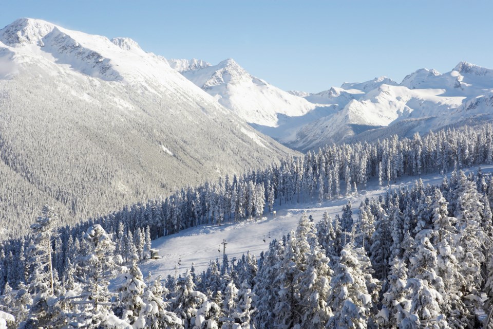
If the cold isn't enough to keep you off of the slopes, keep in mind temperatures will drop another few degrees at higher elevations. Whistler Blackcomb's snow and weather report is calling for a low of -24 C at the Roundhouse/Rendezvous elevation (1,850 metres) on Tuesday, and a low of -27 C at that elevation Wednesday.
In response to the cold snap, Whistler Community Services Society and the Resort Municipality of Whistler are activating an emergency overnight weather shelter at the Whistler Public Library this week. Anyone in need of a warm place to spend the night is welcome each evening from 8 p.m. to 8 a.m., from Monday Dec. 19 until Thursday morning, Dec. 22.
This week's cold is forecasted to break records in the Sea to Sky corridor. The average low in Whistler on Dec. 19 is -6.5 C, but the lowest temperature recorded in the resort that day was a low of -18 C in 1984.
According to Health Canada, a person's risk of suffering windburn and frostbite increases when wind chill values drop below -27 C.
Whenever temperatures drop below the freezing mark, "blood vessels close to the skin constrict to protect the core body temperature," the health agency explains. When a person is exposed to those freezing temperatures for a prolonged period of time, blood flow to extremities like hands, feet, nose, and ears can be severely restricted. Extreme cold paired with that poor circulation can lead to frostbite.
To help protect yourself from the extreme cold, Health Canada advises dressing in warm layers with a wind-resistant outer layer, including warm socks, gloves, a hat and a scarf. Synthetic and wool fabrics provide better insulation, the health agency adds.
.png;w=120;h=113;mode=crop)

