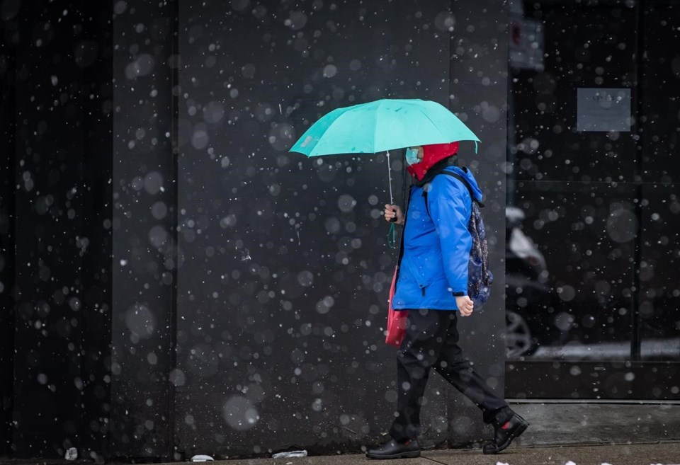
VANCOUVER — Snow is back in the forecasts for parts of the British Columbia on Wednesday.
Environment Canada has issued special weather statements for Metro Vancouver, the Fraser Valley, the Sunshine Coast, east Vancouver Island and the Malahat Highway, saying those areas could see up to five centimetres of snow.
The weather agency says a Pacific frontal system will move onto B.C.'s South Coast Wednesday, initially bringing snow before warmer air pushes in allowing a change to rain.
It says higher accumulations of snow are also possible through the central and eastern Fraser Valley, including Chilliwack and Hope into Thursday morning.
Elsewhere in B.C., a frontal system from the Gulf of Alaska will bring up to 10 centimetres of snow to the Cariboo, Prince George and Stuart-Nechako regions.
Environment Canada says another 10 centimetres is also forecast for northwestern B.C. in Teslin, Atlin, and Dease Lake along with a similar forecast for the Whitehorse region.
This report by The Canadian Press was first published Feb. 1, 2022.
The Canadian Press


