Squamish has been experiencing a bitter cold snap in the last few days, but it should warm some in the coming days.
With an arctic outflow warning, many lakes around Squamish froze over, including Stump Lake and Alice Lake. Even a portion of the Mamquam Blind Channel was frozen early in the morning on Saturday, Jan. 13.
Environment Canada says that Jan. 12, 2024, recorded its coldest day on record in Squamish as the temperature dropped to -14 C.
It seems Jan. 13 may also set a new record for the day as temperatures dropped to -14.5 C around 6 a.m. Environment Canada says the coldest Jan. 13 was in 2017 at -11.8 C.
The sun should shine again on Sunday, Jan. 14 with a predicted high of -4 C.
Monday, Jan. 15 also has more sun predicted and the temperature returning to 0 C.
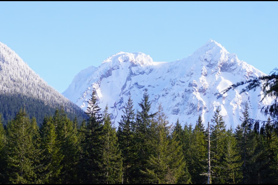
For those braving the backcountry in the cold, Avalanche Canada is reporting "considerable" avalanche danger in the alpine surrounding Squamish, which means human-triggered avalanches are "likely."
"Northerly winds have built reactive slabs in a reverse loading pattern. Expect wind slabs on south-facing slopes near ridgelines and rollovers, and watch for crossloaded features," reads the description of the conditions on Avalanche Canada.
The "considerable" avalanche danger in the alpine is predicted for Sunday as well, with a predicted downgrade on Monday.
@squamishchief Scenes from a frozen Squamish #squamishchief #alicelakeprovincialpark #stumplake #mamquamblindchannel #mountgaribaldi #Nchkay ♬ Stick Season - Noah Kahan


