If you thought Saturday's weather was weird, you weren't wrong.
Squamish's cold temperatures on Saturday night were record-breaking for April 11, according to Environment Canada stats.
Overnight Saturday, temperatures in the district dipped to -3.1°C, smashing the former April? record set in 1983, when temps dropped to -1.5 °C. Records started being kept in 1960.
"The cold air aloft, from the upper trough, it was a very, very unseasonably cool air that came down from the Gulf of Alaska and that set the stage for the record-breaking overnight lows that we saw," said Squamish meteorologist Jason Ross.
Many in Squamish noted the sunny morning Saturday, followed by rain, hail and even snow in some areas of town.
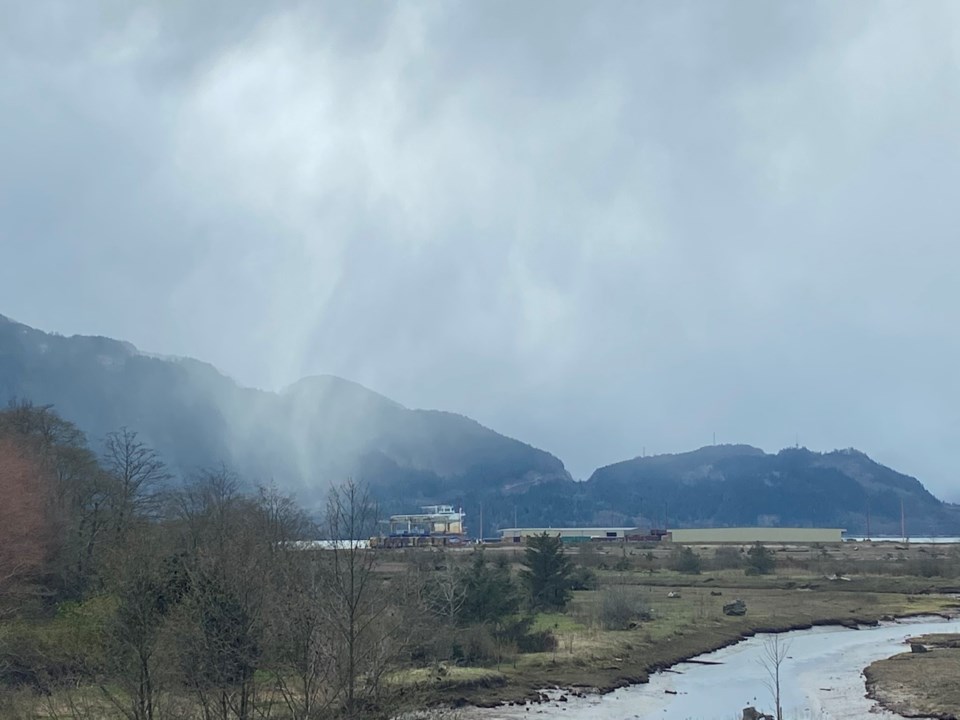
Ross captured a photo of a graupel, which refers to a flurry of soft hail or snow pellets, from his house, which overlooks Howe Sound on Saturday afternoon.
"It was basically caused by a very cold upper trough, and so that cold air aloft got drawn down to the surface with that precipitation," Ross said. "It is like a [soft] hail. It comes from a thunderstorm cloud... It was like a straight column of precipitation hitting near Murrin lake."
The cold air is now moving east, and Squamish is set for some warm temperatures this week.
"That will set the stage for a warm Pacific air with a ridge of high pressure. By Thursday, the ridge is well established and temperatures will warm up, even up in the alpine," Ross said.
Environment Canada has temperatures hovering at 20°C for the rest of the week.


