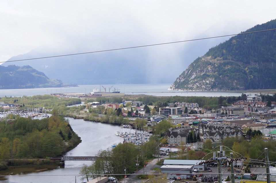
Loggers Lane will likely remain the main truck route through downtown Squamish to the industries on the waterfront, at least in the short term.
Council gave a nod to the draft Downtown Truck Route Study that laid out short and long-term recommendations for the best Squamish truck route options at its committee of the whole meeting last week.
The study, by consultant Urban Systems, based partially on previous studies and public consultation, recommends maintaining Loggers Lane as the route for trucks for the time being, with some minor improvements to the route.
The benefits of maintaining the status quo for now is that with improved geometry, the option would be relatively low cost to implement – approximately $3 million to $5 million – the study notes. The disruption to the environment and the community would also be minor.
On a typical day, an average of about six trucks per hour roll down Loggers Lane, according to Laura Princic, a District of Squamish engineer who presented the study results to the committee.
Only two to four per cent of all traffic on Loggers Lane is trucks and this isn’t a large amount of trucks for a typical truck route, Princic noted. More typical is a truck route seeing about seven per cent of all traffic, she said.
In the medium and long term, two crossings over the Mamquam Blind Channel are recommended. In the medium term, the report recommends the truck route transition to an approximately $25-million to $30-million Pemberton Avenue crossing, which would see a connection between the existing street on the east side of the channel to Laurelwood Road on the west side.
“This would eliminate trucks travelling to Cleveland Avenue intersection,” the report states.
Long term, in 20 to 30 years, the recommendation is for a Westminster Street Crossing over the channel, to the south side of downtown.
This would be in addition to the Pemberton Crossing.
“We do see an ultimate need, especially once we [are] closer to build out or at least well into adding so much density to downtown that we are simply going to need a second way to get from the highway to downtown that elevates the pressure on downtown itself,” Princic said.
This option, not including land acquisitions, would cost roughly $65 million to $75 million.
Coun. Doug Race does not support the Westminster Crossing option, arguing previous councils had taken it off the table.
“This introduces a level of uncertainty into the planning process,” he said. “Now we have to reserve the land with development proposals on both sides of it to accommodate that.”
Coun. Karen Elliott said it is important to acknowledge that major future technology changes are likely, as are changes to how society delivers and receives goods.
“That would be the only thing I would like to see added before we finalize the report,” she said.
The possible routes that cut through the Squamish Estuary (sometimes called the Seventh Ave. Connector) and Third Avenue were eliminated as options.
The route through the Squamish Estuary to the Squamish Terminals was taken off the table, according to Princic, when it was discovered that route was dependent on a dyke in the same location and the dyke was dependent on the road.
“Each of these projects relied on the other to kick it off,” she said, adding there wasn’t funding for either project and the route didn’t achieve rail separation or secondary access off the highway. The Third Avenue option was the least popular with the public, the study notes.
A final version of the report will come back before a council meeting this spring, District staff said.
The truck route study cost the District of Squamish $100,000, $50,000 of which came from a federal government grant, according to district staff.


