If you are accustomed to travelling by foot, cycle or vehicle along the gravel portion of Mamquam Road — east of Paco Road below Quest University — you will need to avoid the area for now.
That portion of the road remains closed due to fractures along a 400-metre section as a result of last week’s atmospheric river event.
The District first announced the closure on Nov. 16.
According to municipal hall, a substantial landslide near the bottom of the road has blocked all access.
Engineering staff have hired a local geotechnical engineer to review the cause of the failure and assess slope stability and potential remediation options, a release states.
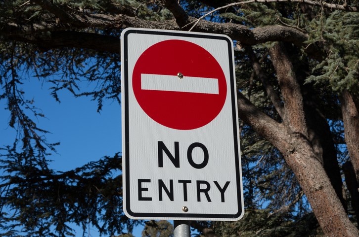
Barricades and prohibitive Do Not Enter signs have been installed to restrict public access.
“The public must stay off the road or out of any of the areas below the road while the geotechnical assessment is underway, as any slope failure poses extreme risk to public safety,” said District director of engineering Chris Wyckham. “We are closely monitoring the situation and will determine the appropriate next steps based on the geotechnical assessment.”
Cracks first appeared on the gravel portion of Mamquam Road, also known as the Mamquam-Ring Creek Road, on Nov. 16 due to heavy rainfall.
There's no word on how long the area will remain closed, but the District said it would be issuing updates.


