If you were out in Squamish just before 7 p.m. on Oct. 19, you likely saw the sky turn into a canvas of bubble-wrap-like clouds.
It almost looked more like the sand after the tide goes out than the sky. The moonlight shining through added to the ethereal feel.
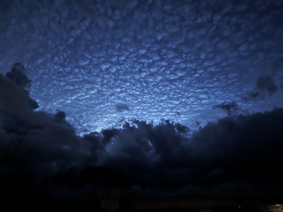
Budz Neric was out near Garibaldi Village and turned his camera lens upward at 6:55 p.m. to capture this photo.
Squamish meteorologist Jason Ross tells The Squamish Chief that these were altocumulus clouds.
These are middle-altitude cloud formations, formed at between 2,000 to 7,000 metres (or 7,000–23,000 feet), Ross said.
"Very beautiful under the sun and under a full moon," he added.
They belong to the stratocumuliform physical category of clouds, which means individual clouds clumped together.
"Stratocumulus also can be thought of as a layer of cloud clumps with thick and thin areas," reads an explanation on the website National Oceanic and Atmospheric Administration National Weather Service.
According to the site What's this cloud, "the term 'mackerel sky' is also common to altocumulus (and cirrocumulus) clouds that display a pattern resembling fish scales. Of all the 10 different cloud types, you’ll probably find that altocumulus clouds are the one of the most diverse and dynamic in terms of appearance."
Find more interesting weather-related stories on our Weatherhood page.
Get Squamish news daily with our free newsletter. Sign up here.


