The federal government has announced $8 million in grants to help companies take advantage of Canadian satellite data.
At the same time, Minister of Innovation, Science and Industry Francois-Philippe Champagne announced a nearly 20-fold increase in the amount of publicly available imagery from RADARSAT-1, Canada's first commercial Earth observation satellite.
"Making it free and accessible and open I think is a game-changer," he said. "I think that will attract a lot of attention from investors and innovators in the country."
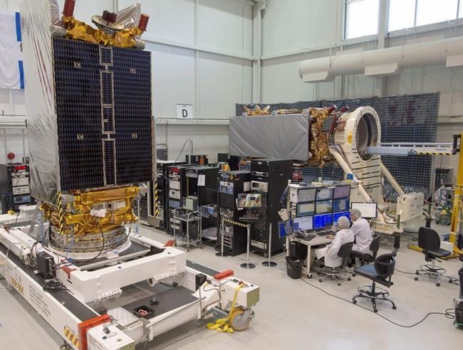
RADARSAT-1 was launched in 1995, a product of federal and provincial governments, the United States and the private sector. Its radar sensors allowed it to gather images of the Earth day or night, in all weather and through cloud cover, smoke and haze.
It was declared non-operational in 2013.
Previously, about 36,000 RADARSAT-1 images of Earth were available. Now, that total will be 674,000.
Champagne also announced that 21 companies will receive grants to enable them to better use satellite data.
They include AIRM Consulting, a Winnipeg company that takes the data to help farmers make better decisions about crop planting and fertilizer use, and the Arctic Eider Society, a non-profit agency that uses the imagery to help Inuit make fast and accurate assessments of the safety of sea ice.
"This new project will help advance an improved version of the ice map that will identify new features and hazards," said Joel Heath of the Arctic Eider Society, which runs the Ice Watch program. "We're going to be able to identify open-water areas as well as cracks in the ice near the floe edge that are really important for safety."
The grants are part of smartEarth, a program of the Canadian Space Agency intended to use satellite data to develop solutions to Earthbound problems.
Earth observation satellites are increasingly essential for everything from national security to monitoring wildfires to measuring greenhouse gas emissions. Champagne said the program will help Canadian businesses compete in a rapidly growing industry.
"We're not close to using it to its full potential," he said. "Companies like the ones with us today need this data to innovate."
Ottawa says the global market using Earth observation satellite data is expected to more than double to nearly $9 billion over the next decade.
This report by The Canadian Press was first published Jan. 20, 2022.
Bob Weber, The Canadian Press
Note to readers: This is a corrected story. A previous version said funding is going to the Ice Watch agency.


