Squamish meteorologist Jason Ross says it is possible.
"It's a little bit early to tell; however, there's a strong signal for Arctic air during the Christmas break," he said.
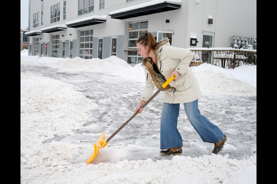
Environment Canada predicts freezing temperatures through next week.
Ross noted that the modelling that he looks at shows a potential for cold and flurries, but also for a period of crisp clear weather around Christmas.
"So, take your pick," he said, with a chuckle.
From 1982 to 2020, the most snow ever seen on the ground on Christmas Day in Squamish was 32 cm in 2008, Ross noted.
That year was also the coldest on record at -10.5 C.
“It is pretty rare that we have a white Christmas, looking back at records,” Ross said. “There are certainly are years in recent years when we have had white Christmases, but it is a pretty rare occurrence.”
With just days to the holiday, however, there is currently a storm warning in effect for Howe Sound.
According to Environment Canada, hazardous winter conditions are expected tonight, Dec. 17.
Heavy snow is expected into Saturday, with snowfall accumulation between 25 and 35 cm.
"Travel is definitely going to be impacted from this," Ross said.
Environment Canada warns folks in its alert to consider postponing non-essential travel until conditions improve.
"Rapidly accumulating snow could make travel difficult over some locations. Prepare for quickly changing and deteriorating travel conditions," the alert reads.
If the amount of snow predicted falls in Squamish this weekend, it is unlikely it would be gone by Dec. 25, meaning we may have a white Christmas one way or another, Ross said.
The year that was
Looking back at the weather experienced in 2021, what stands out for Ross is the heat dome in the summer.
Environment Canada has also named the heat dome as number one in its annual tally of the top 10 weather events of the year.
The mid-November atmospheric river events had an impact locally, Ross noted, such as flooding of a few businesses and high water on the Cheekye Reserve; overall, Squamish came out reasonably unscathed.
Environment Canada ranked the floods as the second in its top 10, as well, with the floods likely to go down as the most expensive weather event in Canadian history.
But locally, it is the heat in June that was the weather event of the year for the local meteorologist.
On June 26, Squamish was at 39 C; On June 27 it hit 41.2 C; on June 28, it was 43 C.
"It was awful," Ross recalled, noting humans, the environment and animals all felt the impact.
"I have a dog and I would avoid going outside with him because I didn't want his paws to get burned by the hot asphalt, right?"
Ross said the Grand Wall rockslide that followed these high temperatures was related to the heat.
More rapid glacier melt also followed the high temperatures this summer, including the Wedgemount glacier in the Sea to Sky and others around B.C.
Ross noticed tangible differences in the alpine just after the heat wave.
"I went running with some friends in the alpine in Garibaldi Park, up to Taylor Meadows, and in some of the little lakes at the top of [the] meadows, the water temperature was so warm."
Follow Ross on @Squamishweather on Twitter for his daily forecasts and analysis.

